Kilometer Zero of Madrid and Its History
Beyond a mandatory stop for visitors to the Capital, the Kilometer Zero of Madrid has much more history than it may seem at first glance.
Located in the Puerta del Sol in front of the Casa de Correos, seat of the Government of the Community of Madrid it is emplaced one of the most wanted spots of the Capital of Spain: the Kilometer Zero of Madrid . This “monument” is nothing more than a large tile yet it is one of the first photos that a visitor takes in Madrid. “Where is it?”, tourists often ask, waiting for something truly monumental.

Kilometer zero, km 0, mile 0 or similar, is in many countries a very unique and specific geographical location from which the rest of the distances in that country are measured.
Where does this idea come from?
This tradition comes from the Roman Empire, which had its “Milliarium Aurem” (golden milestone), the origin of the Roman roads. We all know the phrase “all roads lead to Rome”, right? This “golden mile” dates from the time of Augustus, the first emperor of Rome. It was located in the forum, and all distances were measured from that very point.

Let’s go now with Spain. During the reign of Felipe V at the beginning of the 18th century, six roads were built that started from Madrid, with milestones to indicate the distance from that “zero” starting point. As a curiosity, at this time leagues were used to measure distances on roads, so we could perhaps speak of a “zero league” instead of “zero kilometer”. Somewhat later with Carlos III, a king with a great fondness for classical culture, the Casa de Correos was built, and that zero point was set right in front of it, since it was the ideal way to organize the postal system for the empire. This is a Good reason for the king to be the one on the statue just in front of the plate.

When was set the first Zero Kilometer Plaque in Madrid?
The first plaque was finally put on in 1950 and the one we now see is from 2009. As a curious fact, shortly after entering this new millennium some works were carried out and the Kilometer Zero plaque ended…upside down! The Puerta del Sol coincides with the cardinal points, and suddenly the map of Spain on the plate pointed to the real geographic south, the south was the north, and the west and east were interchanged. The confusion ended in February 2002 when it was put into the right position.
Kilometer Zero of Madrid plaque has a map of Spain with the six radial roads, the emblem of the College of Civil Engineers, Canals and Ports on the left and on the right the old shield of Madrid with a griffin, the bear and the madroño (strawberry tree), and the civic crown.

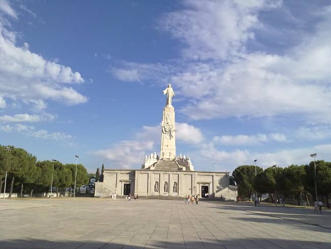
It is also the center for the numbers in the streets of the capita and it virtually matches the authentic center of the country, which is about 10 kilometers south of Madrid, on the Cerro de los Ángeles.


How did people survive in big cities before having Google Maps (and if we happen to be unable to ask anyone) so as not to get lost?
Well, you go down numbers street after street, and at some point you will arrive at Puerta del Sol. There is still hope. You can probably orient yourself again from there.
If you want to know more about the history of Madrid, do not hesitate and join our Free Walking Tour Madrid, in which we begin precisely by looking for the “puerta” (“gate” in this case) of the Puerta del Sol. And if you drop by there, do not forget to step on the plate of the Zero Kilometer. It is said this is the way to come back to Madrid, or maybe it bring luck, who knows.